Drone Services
Using qualified pilots Aerial perspective provides a range of services in support of industries including Construction, Renewables, Property Management, Forestry and Wildlife Management.
Construction & Quarrying
In Construction and Quarrying we can offer Stockpile Analysis, Digital Surface models (DSM), Orthomosaic Maps, Point Clouds or 2D and 3D models as, seen below. Models can be used to demonstrate a projects progress over time and remove the need for stakeholders to be present on site as often, as the progress of the project can be viewed remotely, online.


Mobile Towers & Wind Turbines


In Renewables Wind Turbines and other tower like structures, such as Mobile Phone Towers, can be inspected investing a fraction of the cost in time and money of using more traditional methods. Surveys can be carried out and reports with 3D point cloud and any area of concern identified on a close up photograph. Rust and damaged welds can be identified early and treated before they cause any significant damage.


Roofing & Building Inspections

In Property Management, roof and building façade inspections can be carried out without the hazards of working at height or the expense of extensive scaffolding.
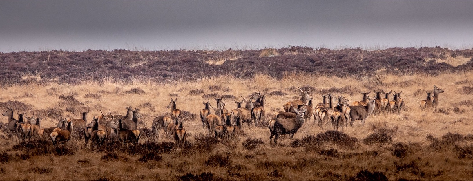
Wildlife & Forestry
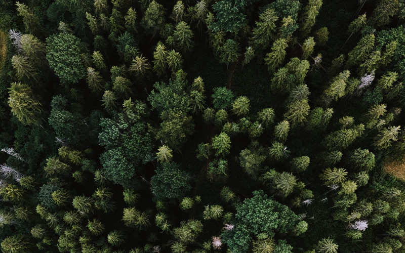
Increasingly we see the use of drones in Forestry and Deer Management. Using drones equipped with a Thermal Camera enables the user to identify deer in woodland, in ideal conditions the species of deer and even sex can be identified. The use of this technology allows cullers in conservation areas to be more effective in their task. In other areas of forestry drones can help identify storm damage, assess crop health or identify the extent of an area of windblow, in a way that is less manpower intensive than such surveys have been in the past.